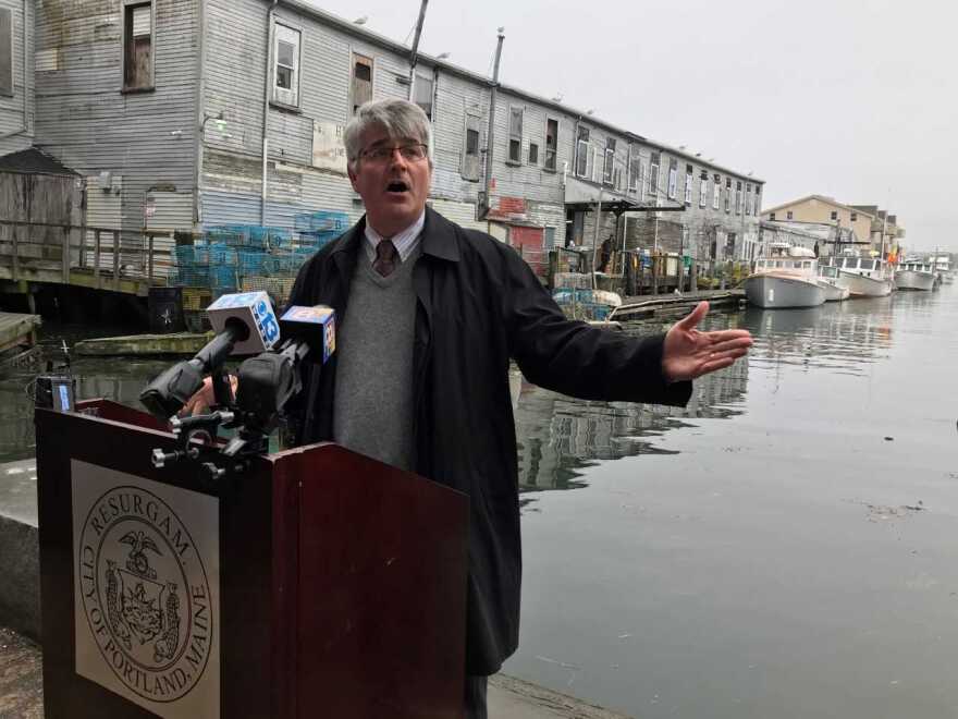
The city of Portland is launching a new initiative to better inform people of flood hazards. Officials are placing "High Water Signs" around the city as part of a federal, state and local collaboration aimed at bringing attention to the need for flood resiliency in at-risk areas.
The signs mark the high water level of a major flood in 1978. Bill Needleman, Portland's waterfront coordinator,

told reporters at the Portand Pier Friday that the goal is to make scientific information about rising water levels and climate change more available to the public.
"The signs themselves use that information to educate our public, but also to educate our community and assist with decision making," Needleman said.
The city's GIS Mapping Tech Kevin Deneault says the signs are an important means of drawing attention to growing environmental risks.
"The blizzard of '78 still holds the highest water level here in the city," Deneault said, in reference to the high water level the signs mark. "But as we go through the future those levels will rise due to sea level rise and climate change."

Portland has erected four signs indicating a high water mark, with the goal of drawing attention to this concern. They have been placed at the Portland Pier, Back Cove, the Eastern Promenade Trail, and Stroudwater.
Floods are some of the most common and costly disasters in the U.S., according to the Federal Emergency Management Agency .


